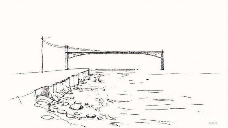
Recent aerial footage captured over a segment of the waterway in Whitchurch indicates significant structural compromise, with portions appearing to have lost their integrity. The images show a broad view of the waterway and the surrounding infrastructure, revealing areas where the foundations and supports may have shifted or weakened. The footage emphasizes the scale of the damage, which could have implications for water management, safety protocols, and potential repair activities. Such observations are critical for assessing the extent of the damage and planning any necessary interventions to restore the waterway’s function and safety. The footage did not depict any emergency response activity but provided a clear overview of the damage’s spatial distribution and severity
Structural Collapse Observed in Whitchurch Waterway Through Aerial Footage